We are officially heading across the English Channel to partner with the Government of Jersey.
Mapping a Smarter Island
Jersey has always been forward-thinking, and this partnership is the next step in that journey. The goal is simple but ambitious: to move away from paper-based records and siloed data, and create a single, digital “source of truth” for the island’s kerbside, using AppyWay’s Traffic Suite.
What does this mean for the Island of Jersey?
- A Clearer Picture: Government and the public will have a map-based view of every restriction, parking bay, and permit zone.
- Better Tools for the Team: By moving to an intuitive digital interface and away from a paper-based process, the Government can manage changes and updates to traffic orders with far more precision.
- Ready for Anything: Whether it’s finding the best spots for new EV charging points, getting ready for self-driving vehicles or managing the morning traffic surge in St Helier, having a digital foundation makes the island much more adaptable to future needs.
Building for the Future
We’re thrilled that the Government of Jersey has chosen AppyWay to help them turn their kerbside into a truly strategic asset.
"Jersey is a special place with its own set of requirements, and that’s exactly why we’re so excited to be involved. By digitising their kerbside now, the Government of Jersey is building a foundation for a much smarter, more connected island. We can't wait to see the impact this has on the ground."
Mike PotterAppyWay’s Head of Commercial
We’re incredibly proud to be part of Jersey’s digital journey. Keep an eye out for more updates as we get things moving!

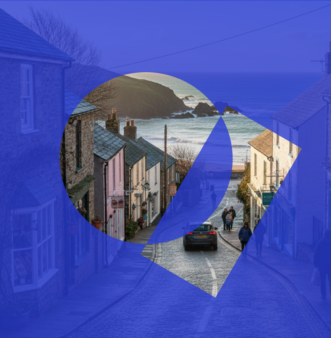
View of the Isle of Jersey