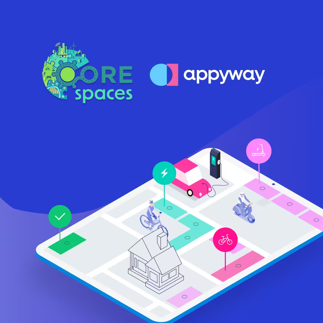
Did you know that AppyWay offers vital kerbside data via the Esri Marketplace? We recently partnered with Esri UK to provide detailed traffic regulation order information into ArcGIS. Integrate parking restrictions, yellow line rules, and moving restrictions to unlock greater collaboration and more informed decision-making.
What Does Our Data Contain?
Our comprehensive datasets include:
- Digitised Bays: Parking, loading, disabled, EV, Car Club
- Digitised Lines: Double yellow, single yellow
- Speed Limits
- Digitised Lanes: Bus lanes
- Restricted Hours
- Loading Information
- Tariffs
- Cashless IDs
- Max Stay
- No Return
How does this benefit your authority?
Unified Data Source: With a single, comprehensive dataset accessible through ArcGIS, different teams, such as planning, transportation, and environmental services, can work from the same information base, ensuring consistency and reducing miscommunication.
Improved Coordination: Real-time data on parking restrictions, loading zones, and traffic orders allows teams to coordinate more effectively. For example, transportation teams can plan roadworks without disrupting parking services, while planning departments can align new infrastructure projects with current traffic regulations.
Enhanced Communication: Visual maps and detailed datasets facilitate better communication between departments. Teams can easily share insights, generate collaborative reports, and provide clear visualisations to stakeholders.
Efficient Resource Allocation: By leveraging accurate data, council teams can allocate resources more effectively, prioritising projects that align with sustainability and mobility goals.
Streamlined Decision-Making: Integrated data supports faster, more informed decision-making, enabling councils to respond proactively to urban mobility challenges and public needs.
Joint Strategic Planning: Comprehensive datasets benefit long-term strategic planning, allowing teams to collaboratively develop and implement initiatives supporting the city’s vision for sustainability and growth.
Integrating datasets from AppyWay’s platforms into ArcGIS offers numerous benefits for local authorities. With access to comprehensive kerbside and parking data, authorities can enhance their urban planning capabilities, leading to more efficient and sustainable city development.
This integration supports informed decision-making, helps to achieve sustainability goals, streamlines traffic management, and improves public transportation systems. Moreover, it facilitates better resource allocation, reduces congestion, and positively impacts the community and environment.
Get started today!
Don’t just take our word for it! This integration is live in the London Borough of Lambeth. Read about how Lambeth Council are using the integration and what their Spatial Information Manager had to say 👇
Visit the Esri Marketplace to harness the power of AppyWay’s D-TRO data for your projects. Ideal for mapping, developing, and monitoring sustainable mobility initiatives.