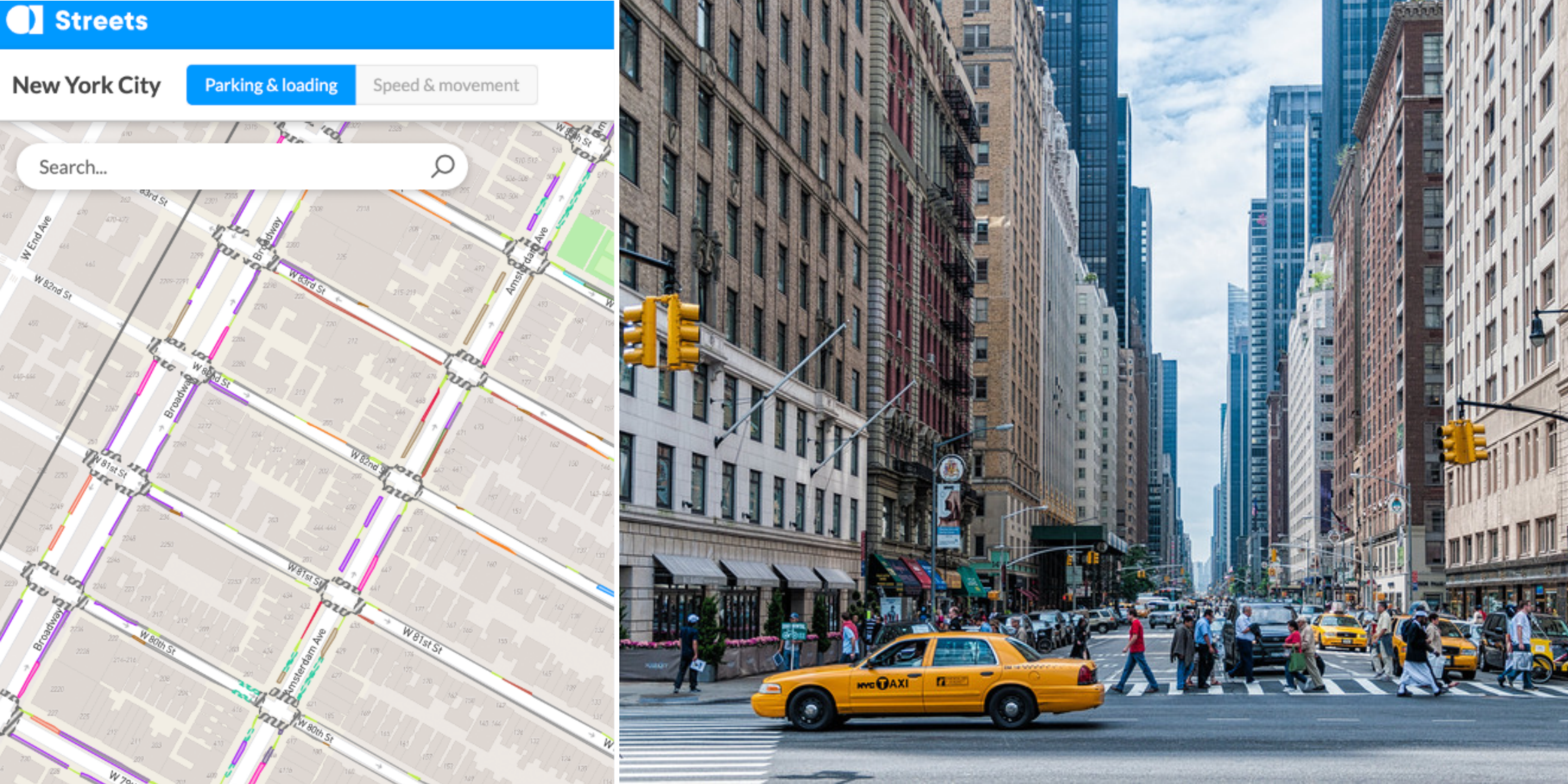











Appyway created a digital curbside map of the Upper West Side Pilot Zone by converting legacy Sign Inventory and Management System (SIMS) data and survey imagery of curbs into a clean, streamlined curb inventory for analysis and API-ready integration.
The pilot achieved over 99% data accuracy, improved operational efficiency by 42.6% for NYC DOT users, and showed how digital curb mapping can replace manual workflows with a scalable, precise solution.
At scale, AppyWay believes they can enable a better understanding of parking and loading capacity, improved insights on the current maximum value of curbside space, and the ability to model the impact of curb policy changes.
99%+
data accuracy
42.6%
Improved operational efficiency for NYC DOT users
API-ready
Curb inventory for analysis and integration