The problem:
Local authorities lack a holistic view of their kerbside assets and usage – what we refer to as ‘last metre data’. Decisions about parking provision are often made in isolation from other strategic transport planning decisions.
Most of us are aware of the emerging trends within the ‘new mobility’ landscape – such as ride-hailing, e-commerce, electric vehicles, active travel and micro-mobility. These new trends all coalesce at the kerb and are competing for space along ‘conventional’ drivers, pedestrians, and cyclists who also lay claim to the kerbside. Our kerbs are often overlooked assets within cities and towns – but they are the critical glue between development and transport planning. At AppyWay, we believe that Kerbs could become much more adaptive and shape demand throughout the day, but the way in which UK towns and cities plan and operate these spaces is not yet dynamic.
Since local authorities (LAs) are largely responsible for the planning and operation of local road networks, they ultimately have the power to control what happens at the kerbside. And yet – Traffic Regulation Orders (the existing, legal tool where LAs regulate parking) are often managed in manual systems that are not machine-readable or in a standard data format. This means that LAs cannot often answer basic questions about their parking – e.g. ‘how many parking spaces do you have?’ or ‘is this pricing effective’? Nor do they have information about how these critical spaces are used throughout the day.
To complicate things further – there is a lack of integration between council departments – e.g. between parking and transport planning departments. This means that key transport data sets – such as parking utilisation, Traffic Regulation Orders (TROs), signal timings, and traffic simulation models – are not linked up. The result? decisions about parking provision are often made in isolation without assessing the wider system impacts.
The solution:
Advanced transport simulation with rich kerbside data
Local authorities need a more holistic, systemic view of parking and traffic flows, alongside a vision for integrating new (and conventional) forms of mobility. So how could this work?
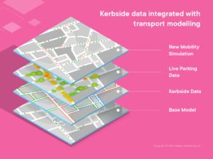
Kerbside data integrated with transport modelling
Base Model
The first step in building a transport simulation model is to establish a base model, preferably an activity-based, multi-agent model focusing on all trips within a defined geographic area. This provides an understanding of the existing travel demand and origin/destination data, all of which is segmented into various transport modes.
Kerbside data layer
AppyWay has a rich dataset of kerbside (‘last metre’) rules for over 450 cities in the UK. This data includes Controlled Parking Zones, pricing, and georeferenced parking restrictions. AppyWay plug this data layer into the base model to bring a more granular view of the local authority’s kerbside.
Historical parking data
AppyWay install sensors into parking bays to help LAs understand how their kerbsides are being used. As the data is collected over time, the historical data can be fed into the transport simulation models. Integrating historical data for other use cases as well – such as car club utilisation and loading bays for freight – can be incorporated into simulation to support the understanding of specific modes or emerging technologies.
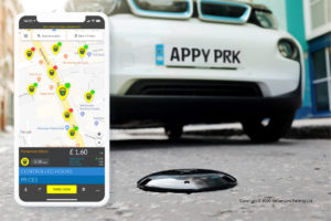
Real-time availability via sensors
New mobility simulation & scenario planning
Simulation software companies, such as Immense Simulations, offer complimentary tools to better understand the relationship between the kerbside and wider transport movement in cities. They work with LAs to scenario plan future travel demand for new types of mobility, such as micro-mobility fleets and electric vehicles. They combine various datasets, including AppyWay’s rich kerbside datasets, to help LAs understand how they can leverage new mobility technologies to support their local transport objectives.
Traffic Regulation Order (TRO) management
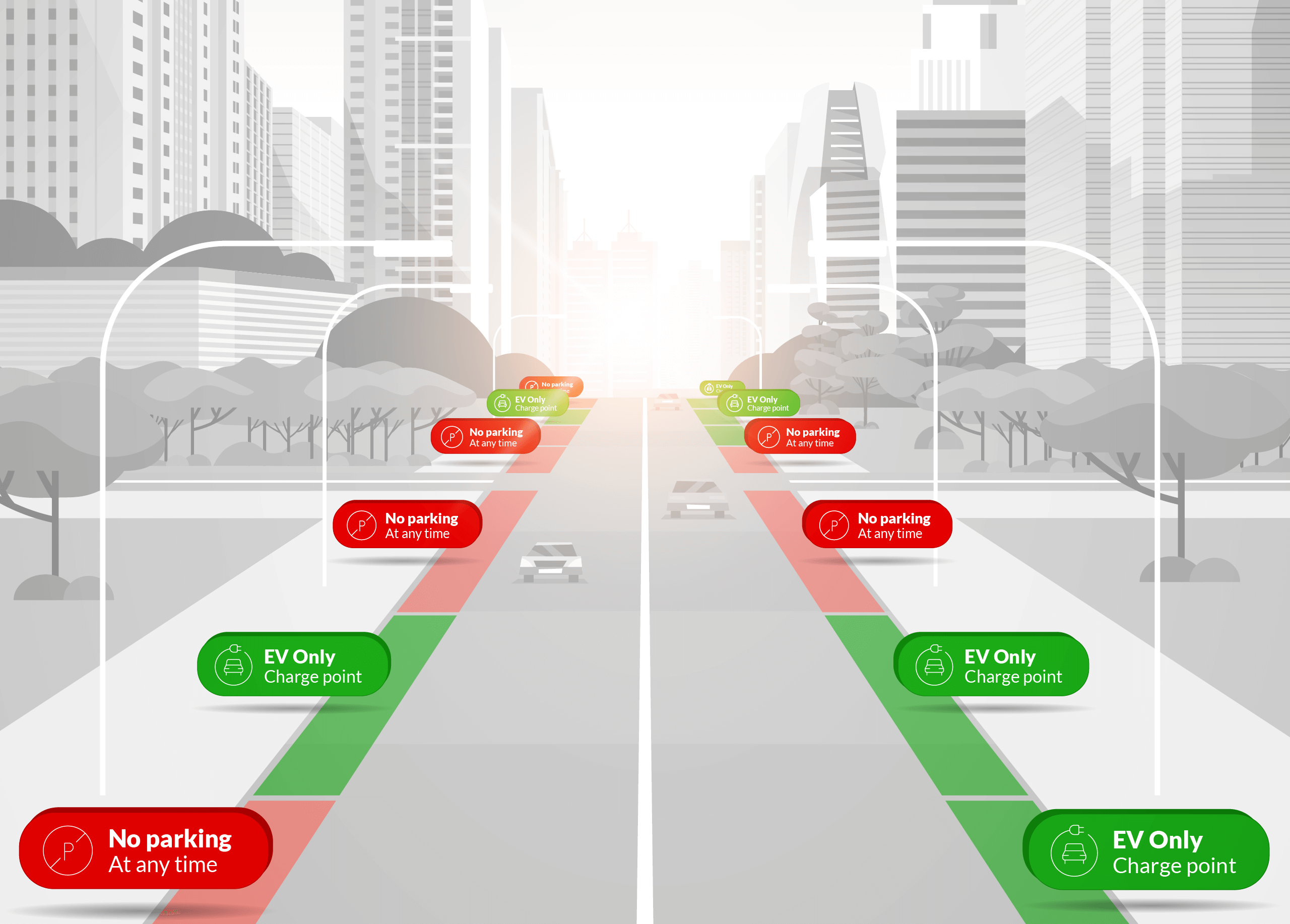
After undertaking traffic modelling exercises and reviewing options for interventions, an LA might consider changing a TRO to support their new vision. They might want to plan for re-allocating kerbside space for new uses, such as micro-mobility or demarcated EV Bays. At AppyWay, we believe TROs should be easier to change and implement, so that local authorities can more effectively use their kerbside to support positive change. This is where AppyWay’s Mapper tool can save the day – to help LAs to digitise, visualise and manage the TRO process – all within a standard data format that they can share with other local and highways authorities.
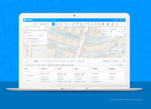
Traffic order management with Mapper
What’s next?
AppyWay is keen to help local authorities take a more proactive role in their transport strategies when it comes to the kerbside. We fully believe that empowering LAs must start with digitising kerbide data and integrating various transport datasets to simulate future mobility options. By combining AppyWay’s kerbside dataset and TRO change management tool with advanced traffic and fleet simulations – we hope to give local authorities a more holistic, systemic view of parking and traffic flows, alongside a vision for integrating new (and old) forms of mobility.
If you would like to know more about how this works in practice, please do get in touch with Immense or AppyWay.
About AppyWay and Immense
Appyway and Immense Simulations are both partners at the Smart Mobility Living Lab (SMLL) in South East London. SMLL is the world’s most advanced urban testbed for connected and autonomous vehicles (CAVs), where public and private roads are used as testbeds in London to develop and validate new mobility and transport technologies in a real-world connected environment. At the heart of SMLL is the philosophy that local operators and authorities need more control over their own spaces to influence mobility in a way that aligns with their local transport strategies. At SMLL, AppyWay and Immense are working with a range of partners to look at the integration of complex modelling and kerbside management to support a range of modes and new technologies.

