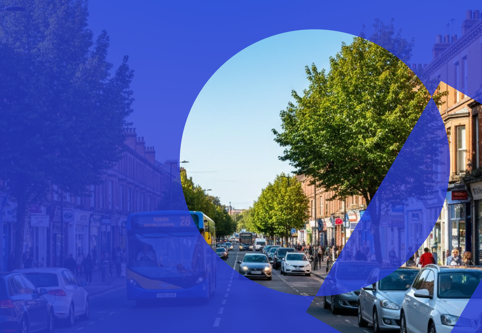
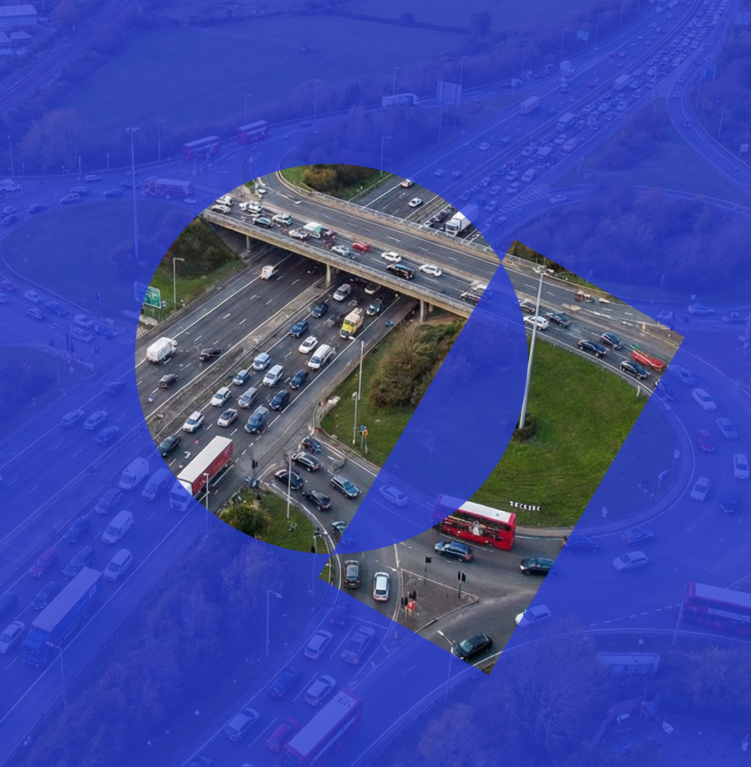
Around the UK, drivers in vehicles of all shapes and sizes are experiencing the pain of parking. If you’ve been driving and parking in the UK for a while, odds are you have a story about parking tickets, either from personal experience or from a family member. The pain of parking comes in many forms, from understanding a myriad of rules and restrictions, anxiety over ticket expiry, to the panic that sets in when you don’t have the right change. Something that is a such an everyday part of our lives is often not the simplest.
Why is it like this?
At the heart of this problem, is information. Or lack of it. Drivers simply do not have easy access to accurate information on parking rules and restrictions and how and where to pay. The market is fragmented. Not surprising when there are over 400 local authorities in the UK, each with a variety of rules and restrictions.
Often, even basic parking information is unavailable. It’s usually not available digitally and is inconsistent from one local authority to the next. No wonder drivers find it so confusing! And this confusion costs. It costs us in terms of congestion, air pollution and footfall on local high streets. And it costs our wallets too, with £454 million generated from parking penalties in 2018-2019.
So, you can understand why we’re on a mission to make parking forgettable and we knew the first challenge that needed addressing was the data.
What have we done?
When our CEO & Founder Dan Hubert starting this quest, the first step one was to compile paper-based restriction information, usually in PDFs and digitise it into a single, standardised, map-based dataset. Not an easy task! So, we started in London and begun working our way outwards. As each borough and authority was mapped, we would in turn make this information available via our AppyParking mobile app.
But the going was reasonably modest, and at the start of 2019 we had under 100 UK towns and cities in our dataset. Wanting to accelerate our coverage and help more drivers in more places, we set ourselves an audacious goal – have at least 400 towns and cities by the end of the year.
Our GIS team used a mix of data sources to map out town and cities. In some cases, councils were kind enough to provide us with their base data. We were able to upload this data into our innovative Traffic Restriction Order tool – “Mapper”, which helps standardise the data and then allows us to reflect the information in our mobile app. In many cases we captured parking restriction data using LiDAR, then using our own technology to extract the LiDAR data and turn it into app-ready parking information. Often though, it was a case of our GIS team mapping towns and cities manually.
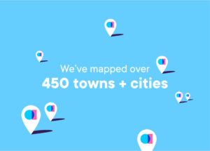
Jump cut 11 months’ later, and we’d smashed our target, reaching 400 by November. From London to Leeds, Edinburgh to Exeter, today we’ve now mapped over 450 UK towns and cities. Our dataset powers our award-winning AppyParking mobile app and is also available to developers via our Kerbside API.
”Reaching this milestone was a great team accomplishment which demonstrates the company's dedication to expand our national grid. By mapping up to 12 cities per week, we managed to create one of the most comprehensive parking datasets with attention to detail. Looking into the future, we will be concentrating on maintaining that valuable information and elevating further the quality of the product.
Mia PapachristouProduct Support, GIS team
So why is this a good thing?
For drivers
Think about how much time you waste searching for parking. Now multiply that by the 33.6 million road users there are in the United Kingdom. That’s a lot of people spending a lot of time trying to navigate to suitable parking.
A study commission by IMB found that 30% of vehicles circling around a city are search for parking1. With so much parking information all in one place, the AppyParking mobile app and Kerbside API can save drivers a significant amount of time by giving them all the relevant parking options at the touch of a button. Drivers can save time and reduce the stress of finding specialised bays such as EV bays, disabled bays or car-club bays. Users can drive directly to parking with confidence on what the rules and restrictions will be.
It’s not just time and stress that are being saved. Knowing where to park before a driver departs means fewer miles are driven, saving users fuel and money, and reducing congestion and emissions. In the U.K. drivers on average lost 115 hours due to congestion in 2019, costing the country £6.9 billion or £894 per driver2. Across the pond they have even put a figure to how much money drivers spend on indirect and hidden parking costs. On average, drivers in the USA spend more than $3,000 (£2300) a year on all parking-related costs3. These related costs could be wasted time and carbon, parking fines and overpayments.
Through our Kerbside API, fleets around the UK are benefiting from faster and easier journeys. Once integrated, fleets can enjoy; lower parking spends by identifying the cheapest place to park near their job, a reduction in parking tickets by empowering drivers with parking rules and restriction information, increased efficiency with the completion of more jobs by knowing where to park before the driver starts the engine, fuel savings by optimising last metre operations with smarter parking-based routes for drivers, and improved safety with stress-free drivers who make better decisions and lower insurance premiums. Our API is improving experiences for fleets from head office teams through to their drivers.
For Local Authorities
The benefits extend beyond those behind the wheel. For local authorities around the UK, this data is the foundation of smarter parking and traffic management decisions. Decisions that mean towns and cities can benefit from more efficient driver journeys, better compliance and safer kerbs.
On top of our dataset, we launched Mapper, our British Parking Award winning Traffic Regulation Order (TRO) or Traffic Management Order (TMO) solution. Mapper makes it easier and quicker to digitally create, amend and manage traffic orders. With an output that is fully standardised, the legal restrictions that are created by the TRO’s and TMO’s are reflected in a user and app-friendly way within the AppyParking mobile app and Kerbside API.
As local authorities adopt Mapper, the changes they make and publish will continuously keep the base data of the app and API as up to date as possible. Local authorities can now be the driving force behind compliant, happier, congestion and emissions reducing drivers.
The data architecture behind Mapper supports current data standard guidelines and the future APDS framework. In other words, the data powering Mapper, the AppyParking mobile app and the Kerbside API is future ready and future proof.
We’d call that a good year, well spent.
Get in touch today with our friendly team if you’d like to learn more about our innovative solutions and how our data coverage could benefit you.
1https://www.researchgate.net/publication/313879093_How_Much_Urban_Traffic_is_Searching_for_Parking
3https://www.researchgate.net/publication/313879093_How_Much_Urban_Traffic_is_Searching_for_Parking

